GIS (coming soon)
Visualize as layers key geographical information among maritime data to consolidate them.
How does GIS work?
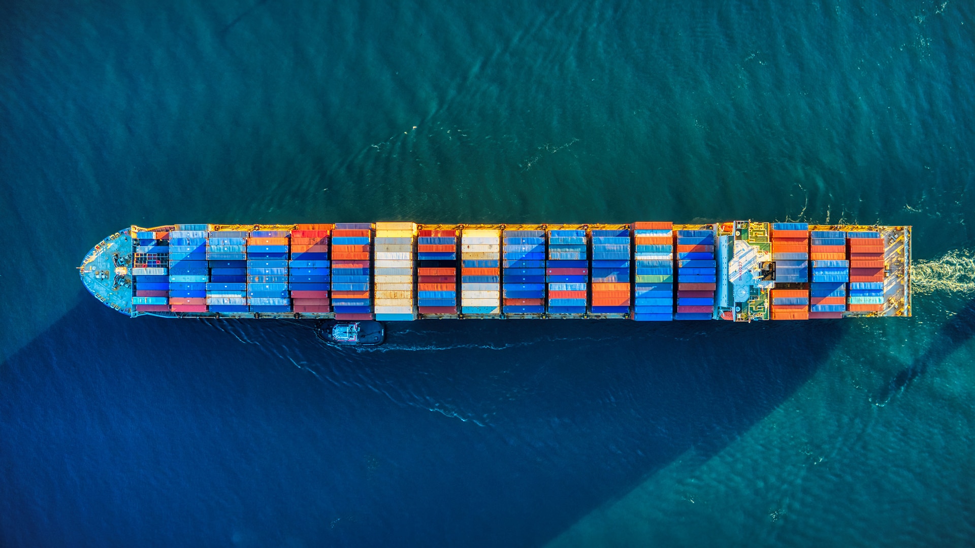
Geographical Information System (GIS) uses powerful mapping software that can analyze spatial and geographical data to map all kinds of data. GIS can show precise data to portray buildings, streets, and even herbage. GIS shows maps of the earth; therefore, land and oceans are shown. GIS can use and compare many different types of data.
As ports and the shipping industry face increased demands, they need real-time mapping data to deal with increased capacity. GIS can use multiple data to map port and shipping assets. This includes mapping vessels and ports. Even real-time data can be used to show truck traffic surrounding the port. Thus, GIS gives port authorities more visibility for their operations.
GIS helps ports by giving them computer imagery of different locations in and around their port. This geospatial information allows port authority to learn how their activities advance over time. GIS uses features that allow ports to increase operational efficiency.
Only 5 access per week


Benefits
Powerful mapping software

Provides real-time mapping

Use multiple data to map port and shipping assets.
Gives port authorities more visibility of their operations
Using AI for maximum efficiency
Why should you use
GIS?
The Sinay Geographical Information System GIS visualizes as layers key geographical information among maritime data to consolidate and create different types of maps. GIS can use and compare many different types of data. Therefore, the Sinay GIS Module can produce many different types of maps. For example, it can show exact maritime traffic. This allows ports to know when incoming ships are coming, vessels can track all vessel routes, and vessels can be tracked to understand their environmental impacts. With the Sinay GIS Module, we were for instance able to track vessels in the Mediterranean Sea in order to know where the most noise was produced. With the GIS Module, the maritime industry can also identify areas to avoid sailing to protect the marine environment.
Focus on data to make effective decisions
Discover all our modules
Environmental Monitoring
Monitor air quality in real-time, be alerted when a threshold is reached & easily comply with regulation thanks to the automated reports.
Monitor water quality in real-time, predict and avoid water pollution & comply with regulations thanks to the automated reports.
The Fish Price App by Sinay makes your daily life easier and gives you free access to all the fish prices by species and by market, in just a few clicks.
Monitor underwater life with its diversity and composition, to avoid human impacts and preserve the oceans.