


How to Monitor Metocean Data?
Metocean data is fundamental to the success of all marine offshore & renewable projects, from planning and exploration to design and implementation.
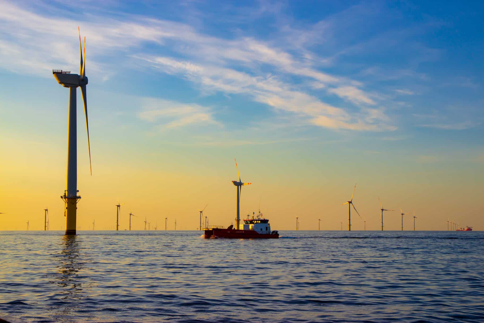
What is Metocean?
Metocean concerns understanding meteorological and oceanographic conditions in offshore coastal engineering or renewable energy projects.
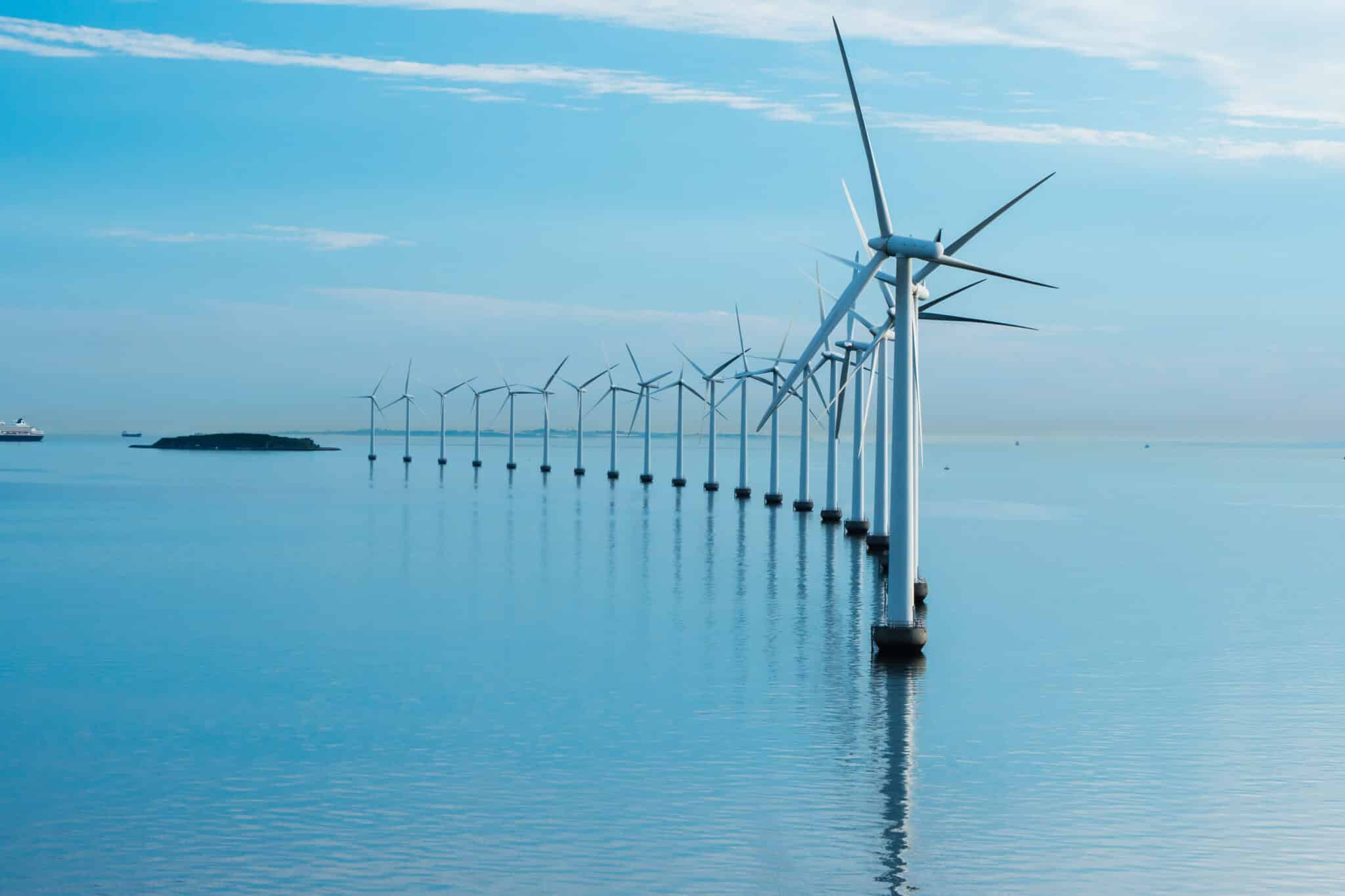
Does Offshore Wind Affect Marine Life?
Encouraging the use of offshore wind farms as a source of renewable energy is an important step toward becoming a greener, more sustainable world, and
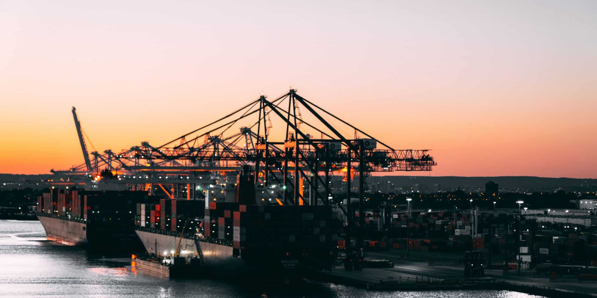
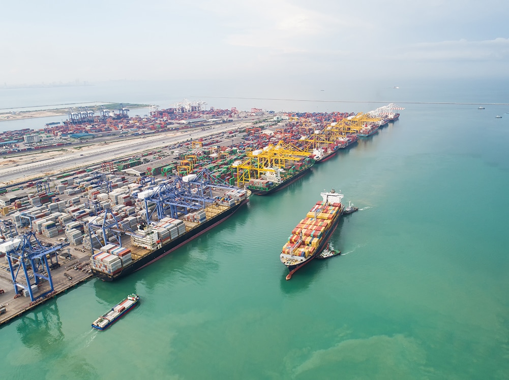
The world’s busiest ports by cargo volume and container traffic
See how the world’s busiest ports manage millions of tons of cargo, power economies, and evolve with smart logistics and automation.
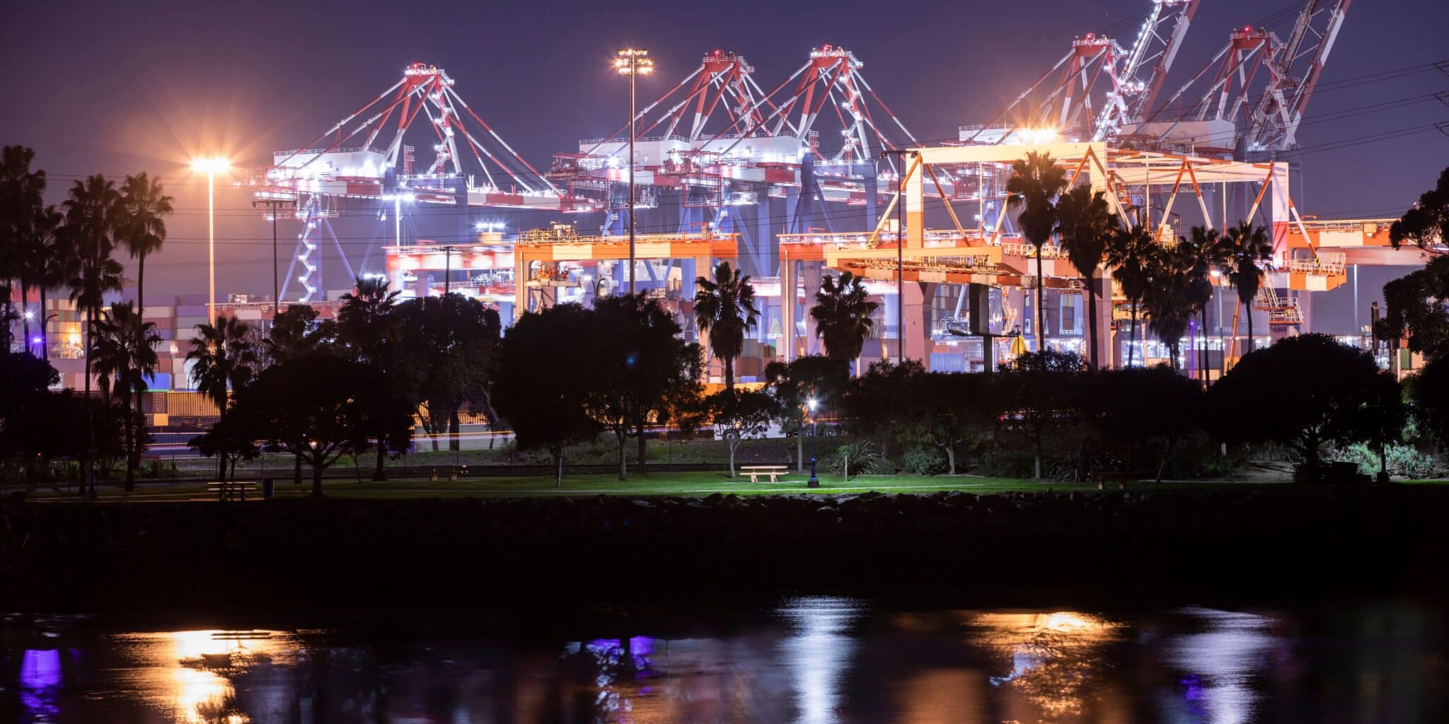
Top 10 biggest port operators in the world
Learn how the top port operators enhance global supply chains with high-capacity terminals, automation, and sustainable shipping solutions.
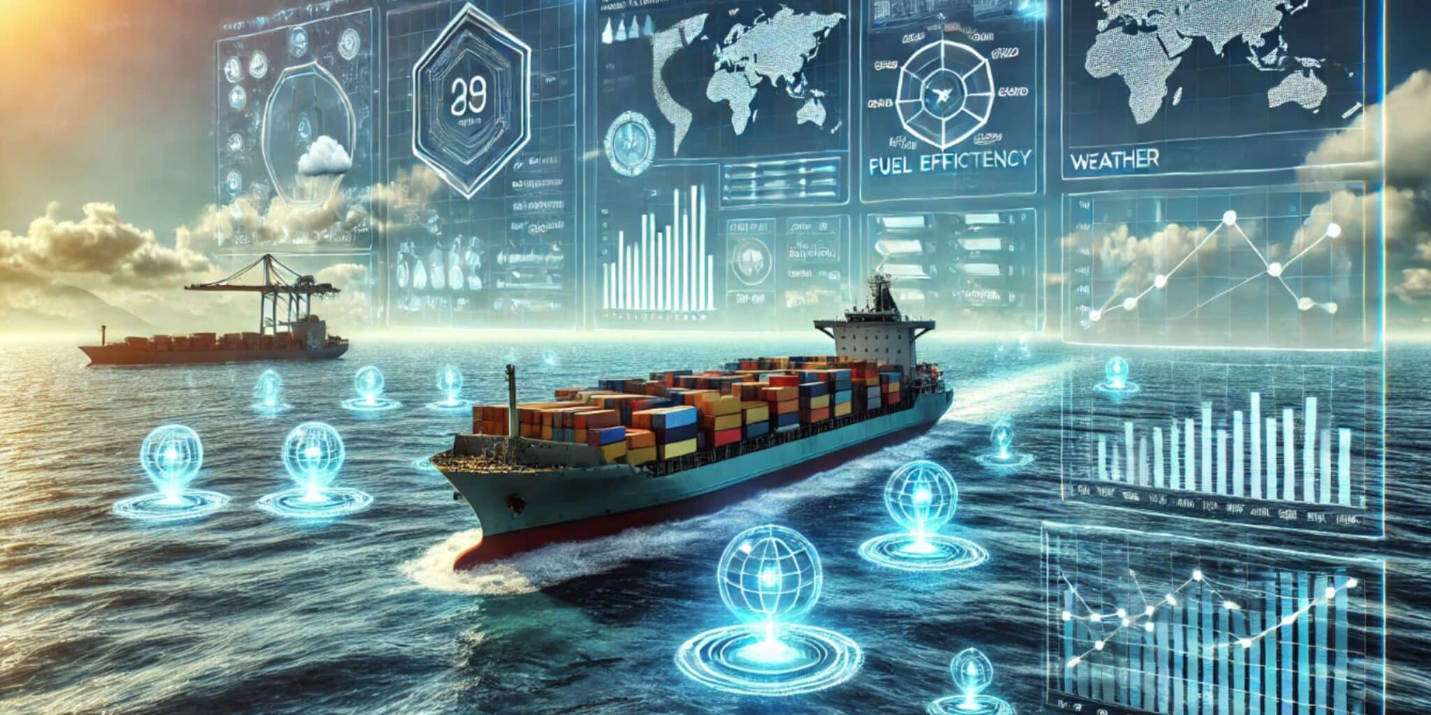
Choosing the Right Maritime Data Analytics Platform for Your Fleet
Learn to select a maritime analytics solution that boosts fuel efficiency, ensures compliance, and transforms your fleet operations with real-time insights.
What is Artificial Intelligence in Smart Port Operations?
Understand the role of artificial intelligence in smart port operations and learn about its benefits and challenges. Discover the latest advancements and applications.
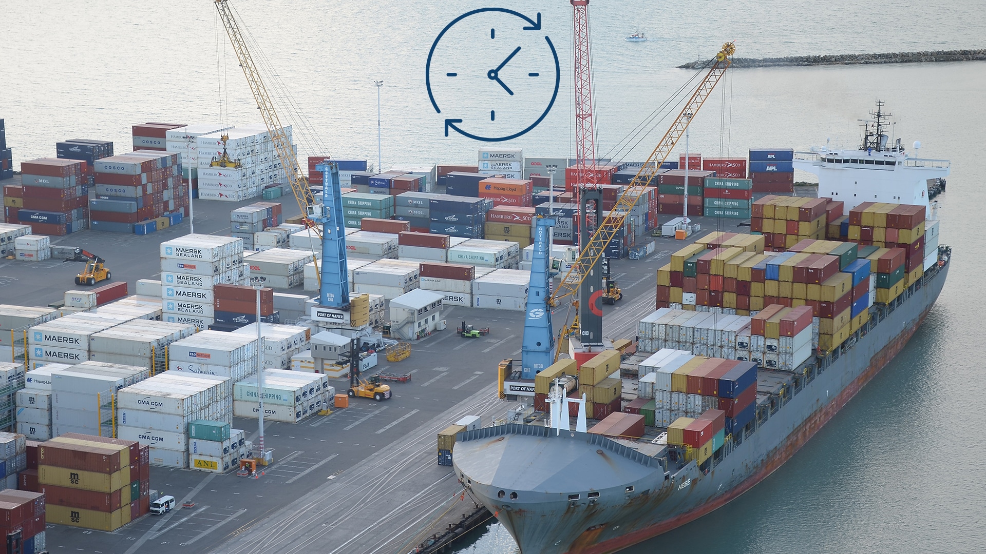
Port Efficiency and Vessel Turnaround Time
In ocean shipping, Vessel Turnaround Time- the time frame of arrival and departure of the vessel at a port- turns out to be the most

Vessel Route Forecasting: Predicting ETA and Increasing Fuel Efficiency
The world of maritime navigation is improving and evolving every day, focusing on increasing ship safety and the economic viability of all shipping operations. With