Transitioning to a low-carbon future challenges every sector, including offshore energy. Metocean analytics help marine companies reduce risks and assess environmental impacts. Today, over 70% of offshore projects use metocean data to guide decisions, track wind and wave patterns, and support sustainable development. This article explores how metocean insights drive safer, greener operations.
Metocean Data and Its Role in Environmental Studies
The concept of metocean data emerged in the 20th century, as offshore oil and gas operations began expanding into deeper and more unpredictable waters. Engineers and environmental scientists need reliable weather (meteorological) and ocean (oceanographic) information to design safer structures and reduce risks at sea. The term metocean gained prominence in the 1970s, particularly with the growth of offshore energy projects.
What is Metocean Data and Why Is It Important?
Types of Metocean Measurements and Their Relevance
Wind Patterns
Tides
Climate Indicators
Wave Dynamics
Currents
Technologies Used to Collect and Analyze Metocean Data
Data collection relies on advanced technologies to provide accurate information for engineering projects and environmental assessment. The following are innovations used to support precise monitoring and timely response at any site or regional location.
Buoys
Having existed for more than six decades, buoys have become essential tools for monitoring ocean conditions. The networks measure waves, currents, and weather over long periods. These floating devices deliver real-time data to support offshore safety, case studies, and design assessments.
Satellite remote sensing
The sensors capture large-scale ocean conditions, offering regional coverage of sea surface temperatures, wind, and wave patterns. This technology helps engineers evaluate multiple locations simultaneously.
Acoustic Doppler Current Profilers
ADCPs use sound waves to track water currents at various depths. They are critical for precise current monitoring near structures and vessels.
Advanced Analytics and AI Models
Modern platforms combine historical data with AI-driven modeling. These systems improve forecasts and enable faster, more accurate decision-making for offshore response and risk assessment.
Offshore Uses and Environmental Assessments
During the 2021 float-over of an 11,000-ton gas platform in Malaysia, real-time metocean data (waves, currents, weather) from an ADCP and wave buoy was critical. Planners waited nearly a month to find precise conditions, allowing completion in just one day, showing how data can drastically reduce costs and time. How do metocean applications benefit from offshore development and impact assessments?
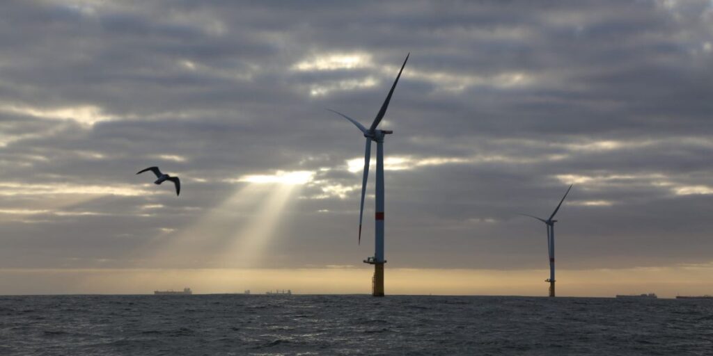
Improving Safety and Performance in Offshore Projects
In offshore wind farms, metocean analytics help crews decide exactly when to lift turbine components into place, avoiding high wind periods that could stop operations for weeks. For example, Ørsted (formerly DONG Energy) created a 35-year validated metocean database covering wind, waves, and hydrodynamics across Northern European seas.
This robust dataset enabled them to rapidly establish design criteria and streamline offshore wind farm planning and installation. In marine construction, real-time monitoring allows teams to track weather changes hour by hour instead of relying on outdated forecasts. This data-based approach reduces the chance of accidents and improves worker safety. Over time, collecting precise information at each offshore location builds a valuable record to guide plans. Instead of reacting to unpredictable conditions, companies can anticipate risks and use metocean figures to optimize every phase of their operations.
Best Practices for Integrating Metocean Data
Baseline Studies
Modeling Approaches
Validation Methods
Regulatory Compliance
Case Studies: Successful Implementations of Metocean Analytics
North Sea Wind Project
Norway Oil Spill
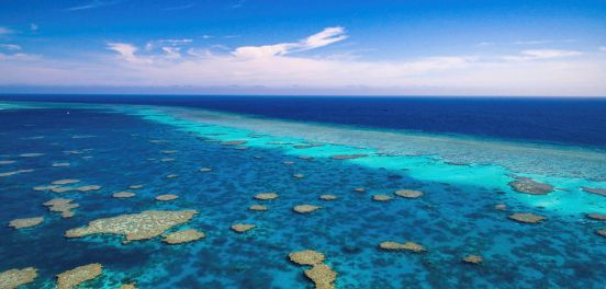
Australia Reef Study
The Future of Metocean Data
The future of metocean data is bright, where science and smart technology unite. From high-resolution models to AI-powered forecasts, new tools will unlock deeper insights into wind, water, and marine life. As offshore energy grows and risks become more complex, metocean analytics will light the way to safer, cleaner, and more sustainable seas.
Emerging Trends in Data Collection and Use
Big Data
Machine learning applications
Real-time monitoring advancements
Challenges and Opportunities
Sinay’s Solution for Offshore Risk and Impact Planning
Our Metocean Analytics is the next-generation platform designed to empower offshore energy and engineering teams. Built on years of expertise, our solution combines advanced analysis tools with precise hindcast data so you can plan marine activities confidently. You can define average values, extreme figures, and validation dates to create specific reports for wind, ocean salinity, temperature, and tidal currents on a global scale.
Our platform dramatically reduces weather-related risks and improves planning accuracy. With effortless access to worldwide metocean data from open, private, and third-party sources, you can integrate your own datasets for custom analysis. Open Ocean also enables you to simulate marine operations, helping your teams win tenders and execute projects more efficiently. Discover how we transform offshore planning into a smarter, data-driven process that protects the environment and optimizes performance for everyone involved.
Conclusion
From high-resolution wind measurements to AI-powered analysis, metocean data transforms how we assess impacts and manage offshore risks. As renewable energy and marine development expand, these insights will become even more critical for safe, sustainable progress. How will the future change with metocean data and better technology?
FAQ about environmental monitoring for offshore projects
They help ensure regulatory compliance, minimize environmental impact, and optimize operations by tracking key factors like water quality, emissions, and noise levels.
Advanced sensors, IoT devices, AI, and real-time data analysis are used to collect and process environmental data for better decision-making.
They detect pollution, habitat disturbances, and climate-related threats early, allowing proactive measures to prevent damage.
Sectors like oil & gas, wind energy, and aquaculture use these systems to maintain sustainability and improve efficiency.