
The world has continuously embraced innovations, and in the case of offshore wind projects, this progress is essential for navigating some of the most unpredictable environments. Waves, wind, and currents can significantly impact profitability in the ocean, necessitating precise data and strategic planning to succeed. According to the International Renewable Energy Agency, metocean-related delays can account for up to 15% of total offshore wind project costs. To manage risk, developers rely on two key tools: metocean forecasting for real-time decision-making and historical climatology for long-term planning. But which delivers better return on investment (ROI)?
How Metocean Data Supports Wind Offshore Project Success
Metocean data collection began in the mid-20th century as offshore oil and gas exploration expanded into deeper waters. Early measurements relied on ship-based observations and fixed buoys to record the ocean’s wave heights, wind speeds, and currents. Over time, advances in satellite technology and remote sensing transformed metocean monitoring into a sophisticated science essential for offshore wind project design and safety.
How Crucial Is Metocean Data in Ocean Operations?
For example, waves and currents influence platform stability. At the same time, wind affects energy production and construction safety. An accurate metocean data system is critical for designing offshore wind infrastructure to withstand extreme conditions and operate efficiently. The model helps predict environmental loads, optimizes scheduling, and reduces operational risks. As global offshore projects grow more complex, the integration of advanced datasets and forecasting systems has become essential for reliable and safe sea operations.
Important Factors for Metocean Data Assessment
Short-term forecasts, such as predicting a storm’s impact over several days, rely on high-resolution radar and real-time observations. In contrast, a long-term climatology study analyzes decades of data to identify trends that affect a wind project model. For example, in the North Sea and Baltic Sea regions, understanding how wind speed patterns vary near land versus the open ocean helps refine offshore wind farm layouts. Using a model that integrates both local and global scales ensures that infrastructure performs well under both expected and extreme global system conditions.
Challenges and Considerations in Offshore Wind Energy
Turbulence
Wave Loads
Icing
Using Forecasting and Historical Climatology Data
The United Kingdom began its offshore wind journey with the Blyth Offshore Wind Farm in 2000 and has since become one of the largest markets globally. Germany followed with Alpha Ventus in 2010, marking the start of significant wind offshore expansion in the North Sea and Baltic Sea. The Netherlands launched its first ocean project, Egmond aan Zee, in 2006, taking advantage of shallow coastal waters to scale up offshore capacity.
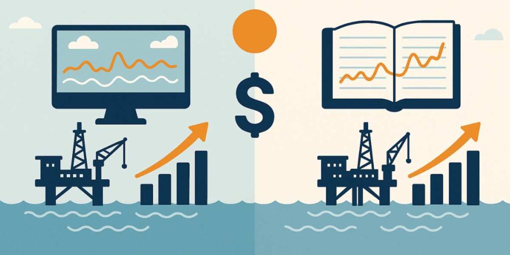
Metocean Forecasting vs. Historical Climatology
An offshore wind system offers a clean, renewable, and virtually limitless source of energy. It serves as a strong alternative to fossil fuels while providing a crucial pathway to accelerate decarbonization and tackle pressing climate and global environmental issues. Here’s a look at the differences between Metocean Forecasting and Historical Climatology.
Metocean forecasting and historical climatology are two approaches used to understand wind and ocean conditions for marine energy projects. Metocean forecasting uses real-time weather models, satellite data, and short-term simulations to predict conditions over hours or days. This system is ideal for planning daily operations and responding to sudden events like floods or severe storms. In contrast, historical climatology is based on long-term datasets, often spanning decades, to analyze how climate trends shape sea and wind behavior over time.
Forecasting offers more technical precision at short scales but is less reliable beyond a few days. Climatology provides a broader Earth system perspective, helping design resilient infrastructure and assess long-term risks. While forecasting models deliver detailed, time-sensitive information, climatology studies create a single PDF. Combining the two approaches leads to better development strategies by aligning immediate weather responses with long-term global climate understanding.
How Metocean Data Improves Wind Project Efficiency
Metocean data plays a key role in improving wind project efficiency through smarter planning and safer operations. Accurate waves, wind, and water measurements help reduce downtime by predicting severe weather and flood risks in advance. For instance, using a high-resolution ocean model, teams can optimize vessel scheduling around calm surface conditions, preventing costly delays. Structural safety also benefits, as global and regional datasets guide design standards based on expected climate forces and wave loads.
Moreover, integrating metocean insights into energy project planning allows for the development of predictive maintenance strategies. Tracking weather systems and wave impacts enables operators to anticipate stress points and make repairs before failures happen. For example, the International Energy Agency (IEA) reports that using metocean models to monitor wave and wind conditions can reduce unplanned maintenance by up to 30% in marine energy projects.
Challenges Industries Face in Applying a Metocean Energy System
Data Gaps
Modeling Uncertainties
High Costs
High Costs
Real-World Success Stories in Wind Energy
The following examples demonstrate how global datasets and ocean system analysis support safer marine energy development. Advanced monitoring of the ocean surface and atmospheric conditions has proven essential for maximizing efficiency and minimizing costs. As wind energy expands, combining local and global data helps ensure projects adapt to changing environmental and climate conditions. Sea surface data, wave models, and atmospheric datasets work together to form a comprehensive system for each wind project. These models capture fluctuations in wind patterns, ocean levels, and climate trends, improving long-term planning and energy output.
Recent Advancements in Metocean Data Collection and Analysis
These advancements enhance data models that integrate wind, ocean, and climate variables, allowing each project to benefit from a more reliable and adaptive metocean system. Here are the innovations that have improved the precision of metocean data collection and analysis.
Satellite Remote Sensing
Autonomous Buoys
AI-Driven Modeling
Case Studies Demonstrating Successful Application in Wind Energy
Kriegers Flak Wind Farm (Denmark)
Developers used ECMWF (European Centre for Medium-Range Weather Forecasts) global climate datasets and regional ocean models to simulate wind and wave patterns. This metocean system reduced delays by 20% and saved an estimated €35 million in construction costs, proving the value of using multi-level datasets in project planning.
Dogger Bank Project (UK)
By combining surface radar data with ECMWF datasets and high-resolution wind models, the project optimized vessel scheduling and improved energy production forecasts. The integrated system led to a 15% reduction in logistics costs and fewer safety incidents across sea operations.
Hollandse Kust Zuid (Netherlands)
Engineers applied large metocean datasets spanning various ocean levels to model the sea floor and assess foundation stability for wind turbines. This climate-adaptive system minimized structural risks and extended the project’s design life by several years, showcasing how data-driven models contribute to long-term success.
How Do Our Metocean Analytics Improves Forecasting and ROI?
Our company’s Metocean Analytics is an advanced platform designed to help offshore wind energy and engineering teams plan marine operations with confidence. We combine precise hindcast data and powerful analysis tools so you can define average and extreme values for ocean wind, salinity, temperature, and tidal currents on a global scale. Our solution reduces weather-related risks and improves planning accuracy with effortless access to open, private, and third-party datasets. You can also integrate your own data for custom reports. With our Open Ocean simulation features, our company enables teams to model marine activities, win tenders, and deliver ocean projects efficiently while protecting the global environment and boosting performance.
Conclusion
The future of ocean wind energy relies on combining metocean forecasting and historical climatology to capture the best of both worlds. While forecasting provides real-time insight into wind and ocean conditions, climatology delivers the long-term data needed to design a resilient system. Together, these approaches form a powerful model to improve safety, reduce costs, and boost ROI. As technology evolves, embracing both methods ensures that every wind project harnesses ocean wind energy efficiently and adapts to the ocean’s ever-changing nature.
FAQ about environmental monitoring for offshore projects
They help ensure regulatory compliance, minimize environmental impact, and optimize operations by tracking key factors like water quality, emissions, and noise levels.
Advanced sensors, IoT devices, AI, and real-time data analysis are used to collect and process environmental data for better decision-making.
They detect pollution, habitat disturbances, and climate-related threats early, allowing proactive measures to prevent damage.
Sectors like oil & gas, wind energy, and aquaculture use these systems to maintain sustainability and improve efficiency.