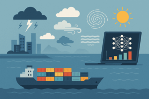
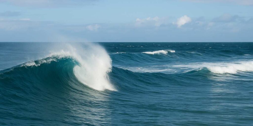
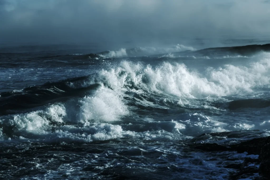
If you notice, wind conditions at sea are never constant. They shift in strength and direction, influencing everything from the performance of a racing sailboat to the output of offshore wind farms. Understanding these patterns isn’t just a matter of curiosity; it’s essential for safety, efficiency, and planning.
Today, modern technologies such as LiDAR (Light Detection and Ranging) and satellite remote sensing have revolutionized how we collect and interpret wind information, providing unprecedented detail about high-altitude and surface winds. Over 70% of new offshore wind projects worldwide rely on floating LiDAR for wind resource assessment before construction. This article examines how wind data is collected, compares measurement technologies, and highlights the importance of accurate analysis for energy, navigation, and climate.
Wind Measurement Technologies: Tools for Insight
Wind measurement technologies are finely tuned instruments that reveal the invisible movements shaping our oceans and skies. From the early use of simple anemometers, first described by Leon Battista Alberti around 1450, to today’s sophisticated LiDAR and satellite systems, wind measurement tools have evolved dramatically. Modern instruments can capture wind speed, direction, and turbulence at multiple altitudes with remarkable precision, supporting everything from offshore wind farm planning to global climate monitoring.
High Altitude Wind Profile Measurement Techniques
Radiosondes are balloon-borne instruments that measure wind speed, temperature, and humidity as they ascend through the atmosphere. They transmit calculated values in real time and often appear in weather models cited in Google Scholar studies.
Dropsondes are released from aircraft and collect data as they fall, providing detailed vertical profiles even during storms or heavy rain. Their observations are crucial to figure out precise wind conditions over remote marine regions.
Aircraft-based measurements rely on sensors mounted on research planes to record wind speed and direction continuously. These tools provide high-resolution data that improve weather forecasting models.
LiDAR and Satellite Data: Advances in Remote Wind Sensing
Comparing Wind Measurement Technologies
Advantages
Limitations
Sea Applications: Offshore Energy and Maritime Navigation
Importance of Accurate Wind Data
Crossref articles figure prominently in research showing that poor weather records reduce the accuracy of site assessments.
Comprehensive observation campaigns help developers understand sea conditions and design more resilient installations. Using precise datasets ensures turbines operate efficiently, lowering costs and improving confidence in offshore energy projects.
Wind Patterns and Their Implications
Factors Sailors Consider in Race Conditions
Microclimates
Sea breeze cycles
Wind shifts
Wind shadow
Wind Analysis for Climate Forecasting and Strategy
In wind analysis, researchers improve climate models, refine weather prediction, and guide strategic decisions in marine planning. This broader perspective helps connect daily observations to long-term trends that affect both maritime industries and global environmental goals.
How Are Satellite Data Contributing to Wind Climate Studies?
Satellite wind data offer long-term records critical for modeling global circulation and weather extremes. Continuous speed and direction measurements help simulate El Niño and ocean-atmosphere interactions. Studies (Chelton et al., 2001; Vecchi & Harrison, 2003) show improved understanding of sea surface temperature impacts on atmospheric shifts. These insights enhance climate forecasting and support resilience planning.
Integrating Wind Forecast Models with Real-Time Data
Real-time data and forecast models enhance maritime weather prediction. Numerical Weather Prediction (NWP) blends current and historical data to simulate large-scale patterns. AI forecasting boosts accuracy for short- and long-term outlooks. Sensor data refines models in real time, detecting sudden wind or pressure shifts. This integration improves forecast reliability for safer navigation and operational planning.
Wind Condition Analysis at Sea
FAQ about environmental monitoring for offshore projects
They help ensure regulatory compliance, minimize environmental impact, and optimize operations by tracking key factors like water quality, emissions, and noise levels.
Advanced sensors, IoT devices, AI, and real-time data analysis are used to collect and process environmental data for better decision-making.
They detect pollution, habitat disturbances, and climate-related threats early, allowing proactive measures to prevent damage.
Sectors like oil & gas, wind energy, and aquaculture use these systems to maintain sustainability and improve efficiency.